bobspirko.ca | Home | Canada Trips | US Trips | Hiking | Snowshoeing | MAP | About
Brewery Ridge
Fort Steele, B.C.
October 15, 2025
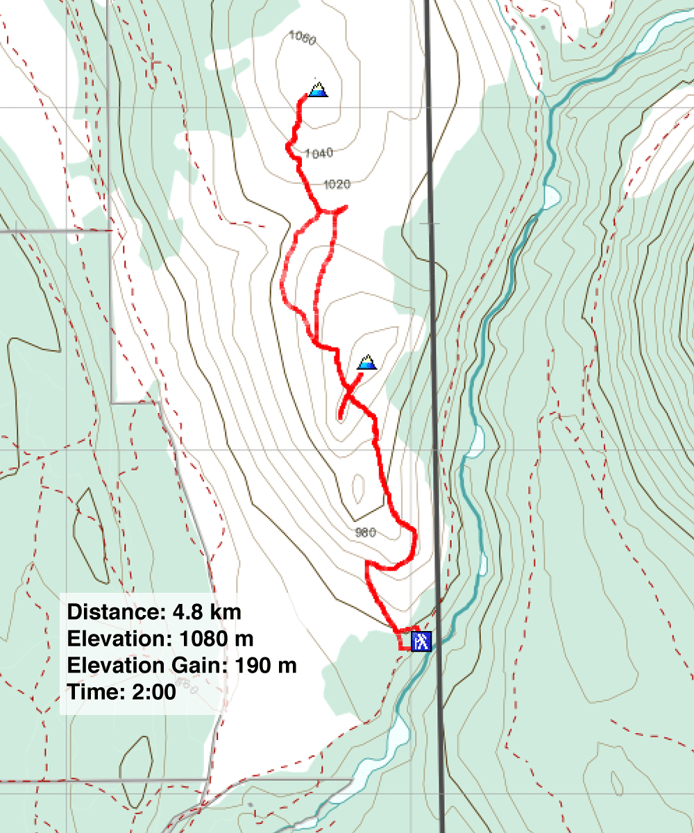
Distance: 4.8 km (3.0 mi)
Cumulative Elevation Gain: 300 m (984 ft)
After driving from Calgary in the morning, we had time for an afternoon hike up Brewery Ridge northeast of Cranbrook. With few trees obstructing the views, we welcomed hiking up the open ridge on a bright autumn day.
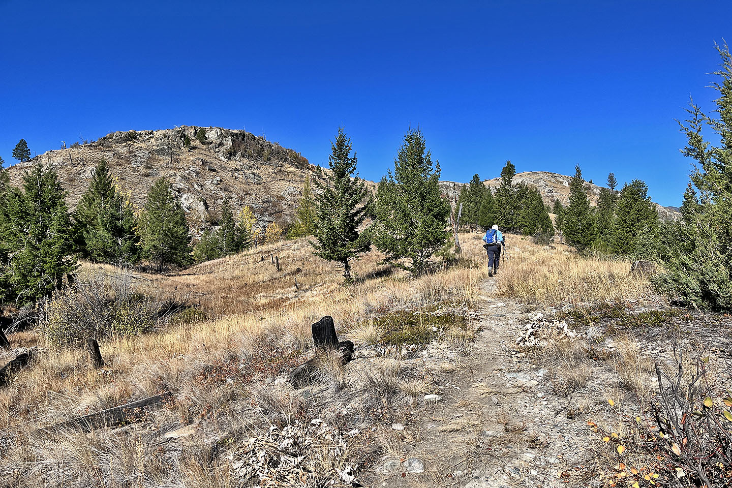
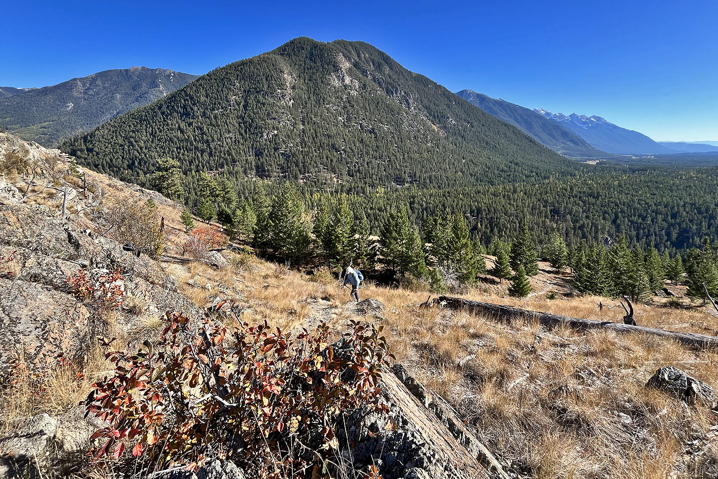
From a parking lot, we walked a short distance down the road to the trailhead. Later we discovered a direct trail from the parking lot. A brief hike through trees led to a grassy slope with scattered trees. We followed the trail to the ridge and proceeded to the summit. We stopped on the top to take in the scenery. To the east, the nearby Rockies loomed over Brewery Ridge, while to the west, the Purcells were visible in the far distance.
This would have been a brief hike had we turned back at this point. Instead, we started down a trail to the north high point. It may not be recognised as the north summit, but it’s only a metre or two lower than the south summit. The trail drops to a saddle where we picked up a 4x4 road climbing to the summit. The views from the north summit were similar to those seen from the south summit, but it was satisfying to look back.
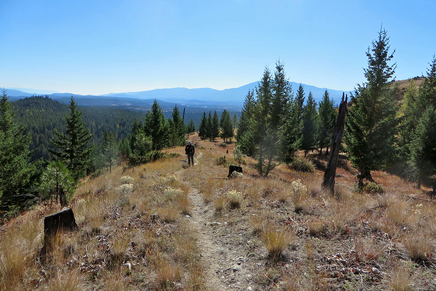
For our return trip, we tried following a trail that circles the south summit on the opposite side we came up. However, we struggled to follow a faint trail. We soon gave up and made our way back to the trail. It was an easy shortcut through larches turning yellow. The colourful trees were a prelude to what we could expect to see in the following days while hiking around Cranbrook.
 Brewery Ridge seen before reaching the trailhead
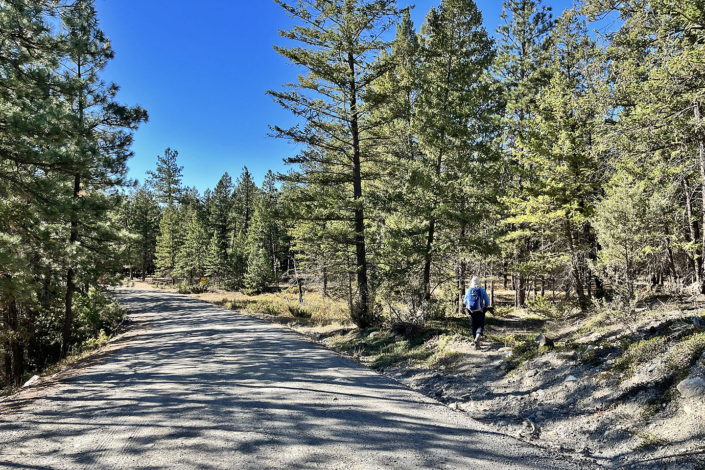 We walked a short distance from the parking lot to a trail
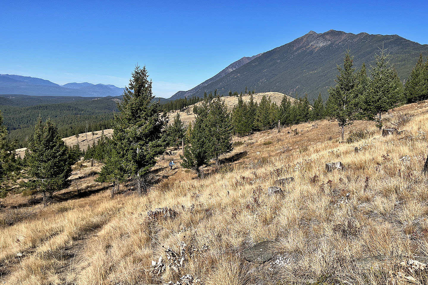
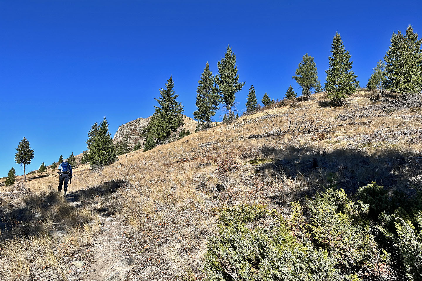 We soon reached the open slope
 Looking back after reaching the ridgetop
 The Steeples lie southeast
 Looking back as we followed the ridge
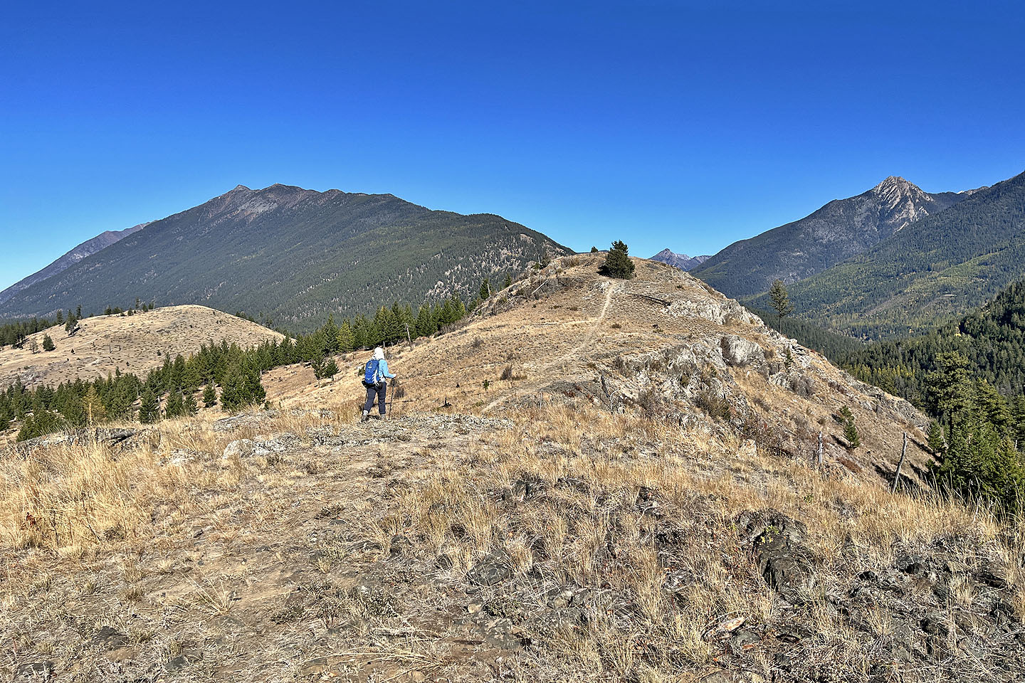
 The south summit is right
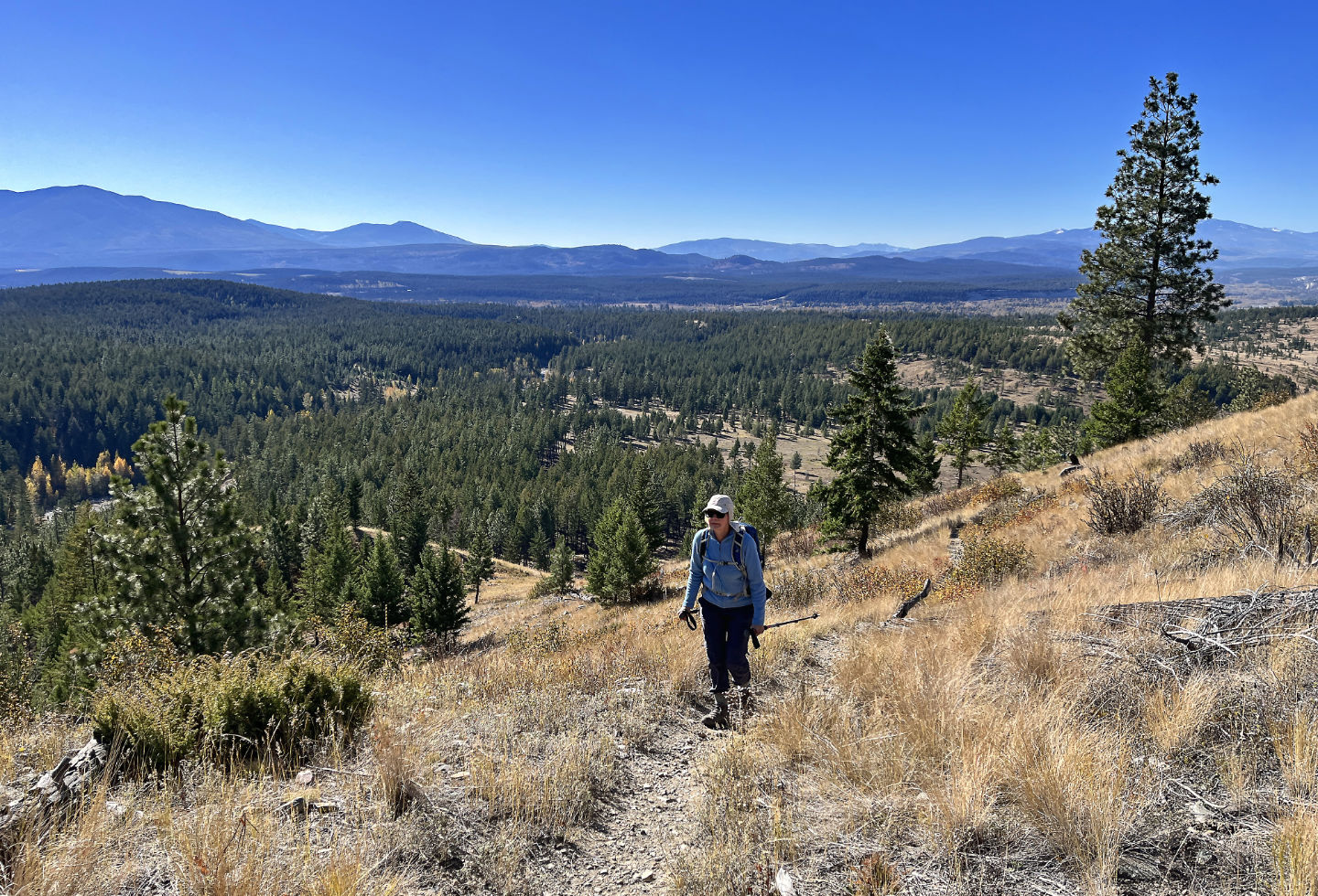
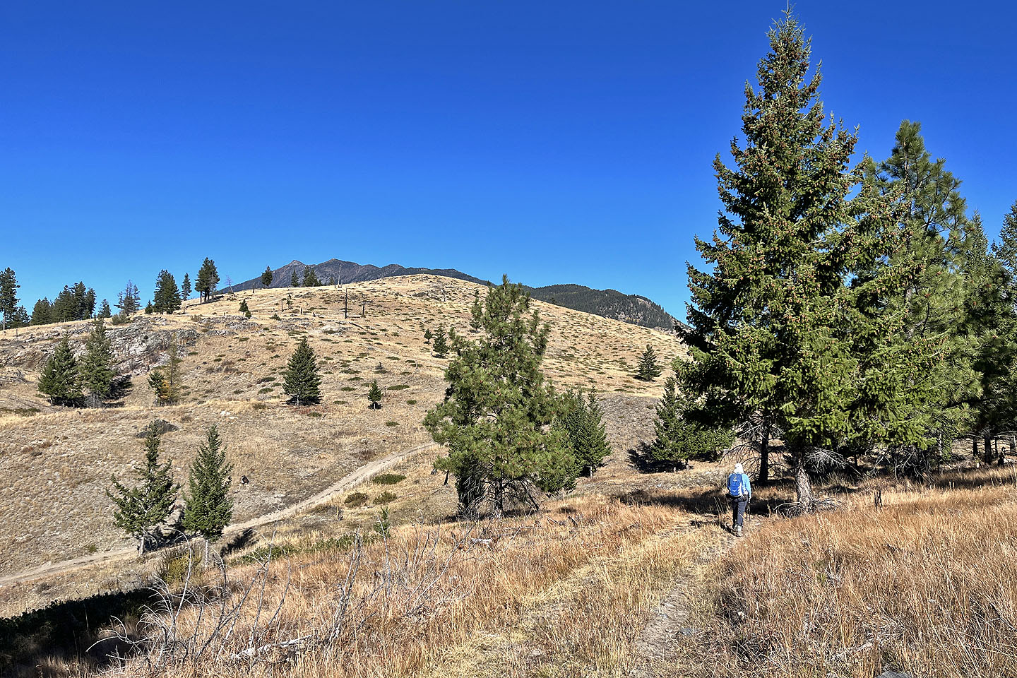
 Lone Peak looms above Dinah as we head to the summit
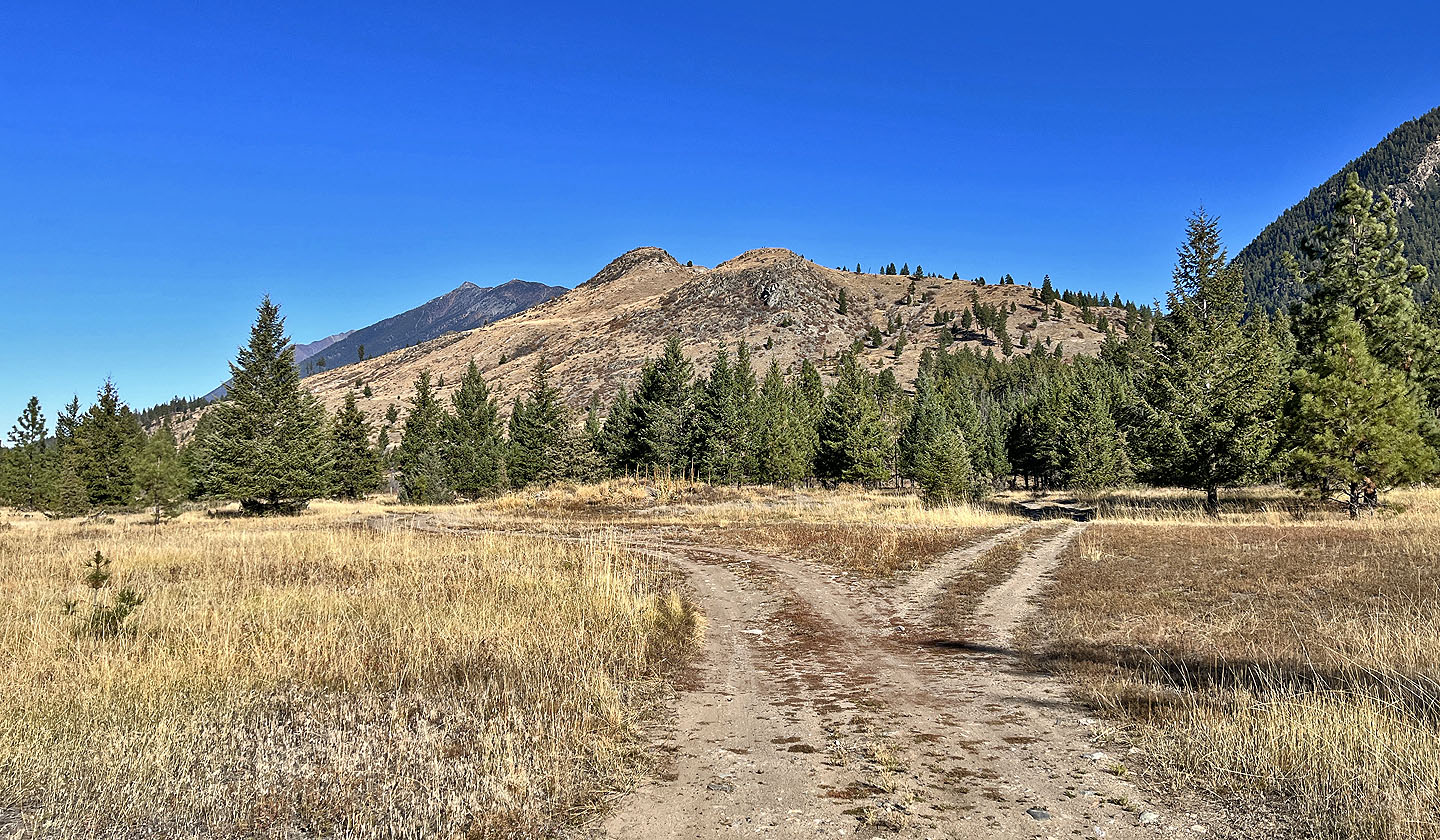
 The north summit left, south summit right
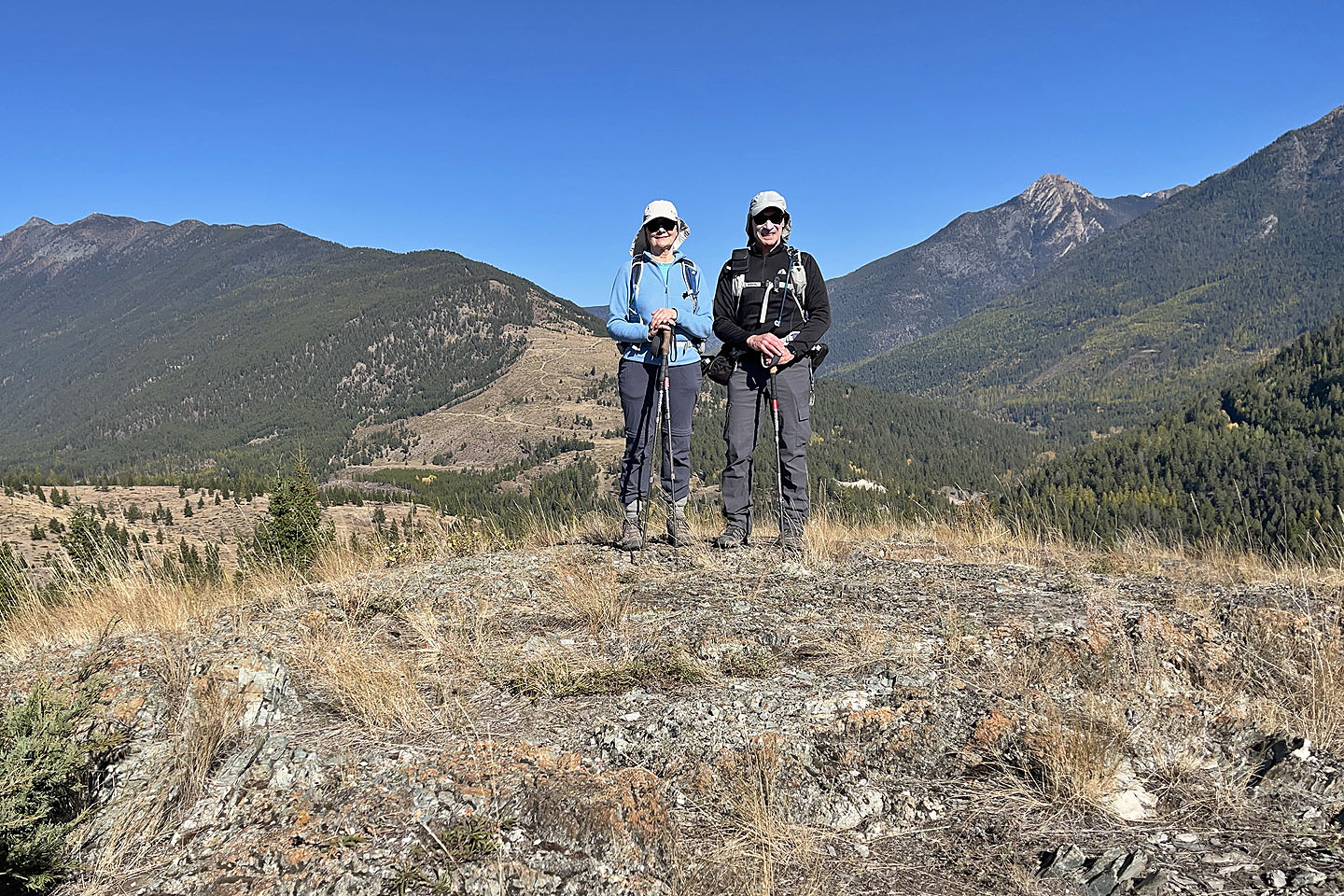 On the summit
 We headed to the north summit
 We dropped down to a saddle before climbing up the north summit
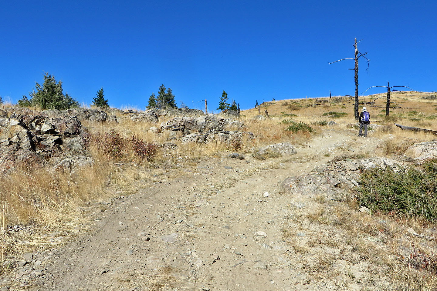 Walking up the road to the top
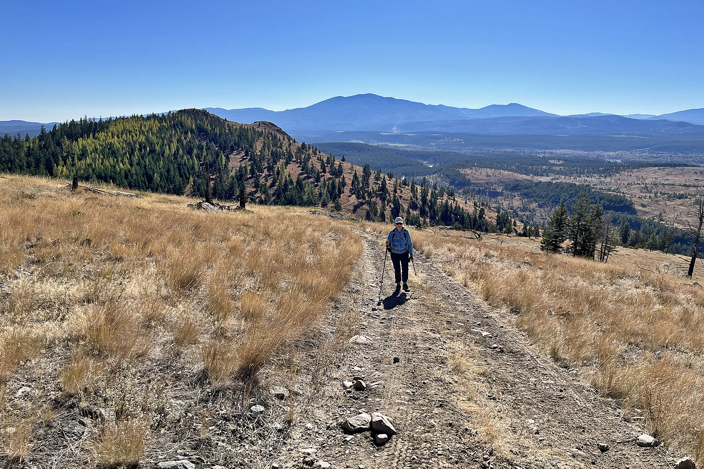 Looking back at the south summit
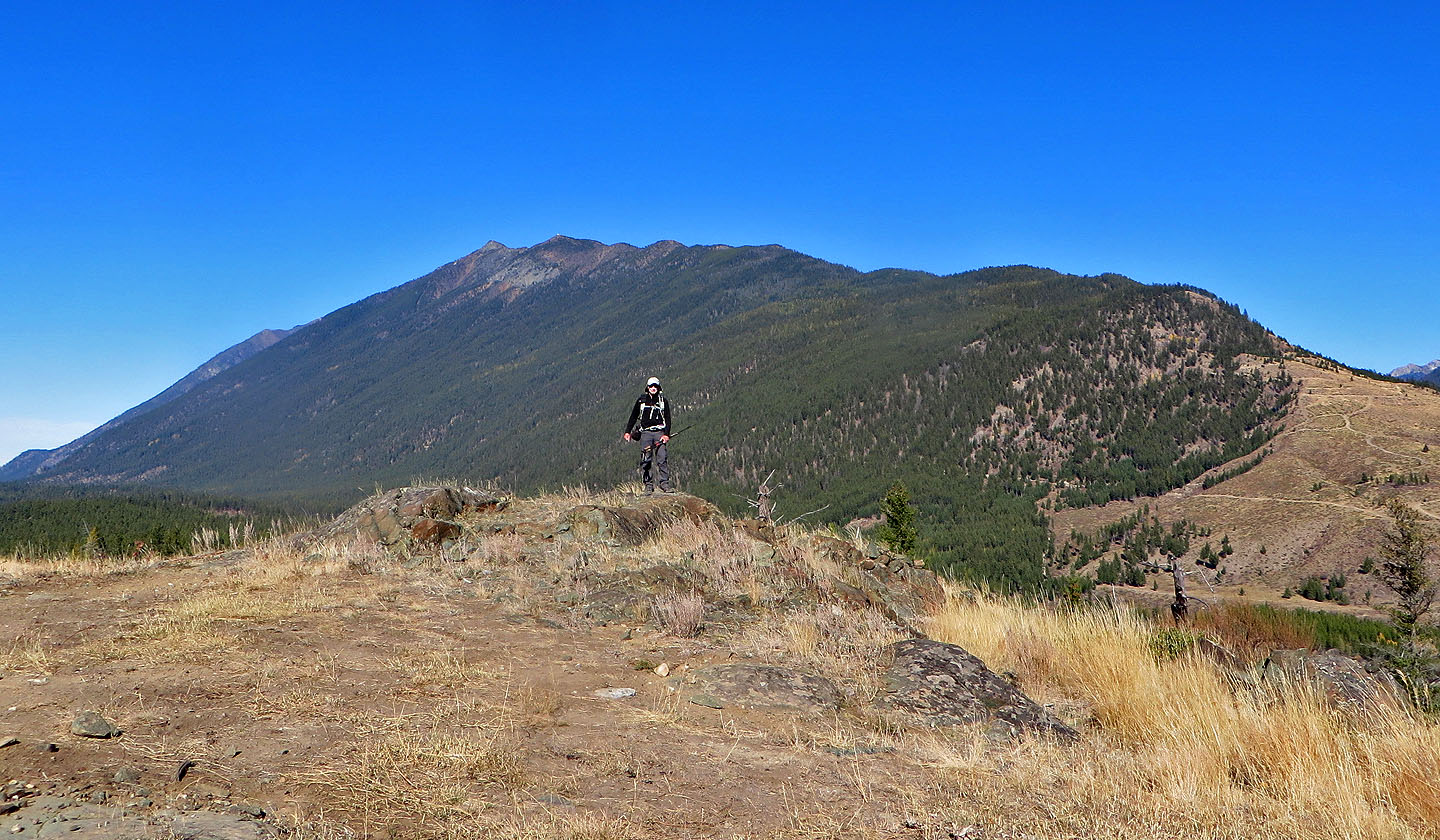 Standing on the summit. Behind is Lakit Mountain.
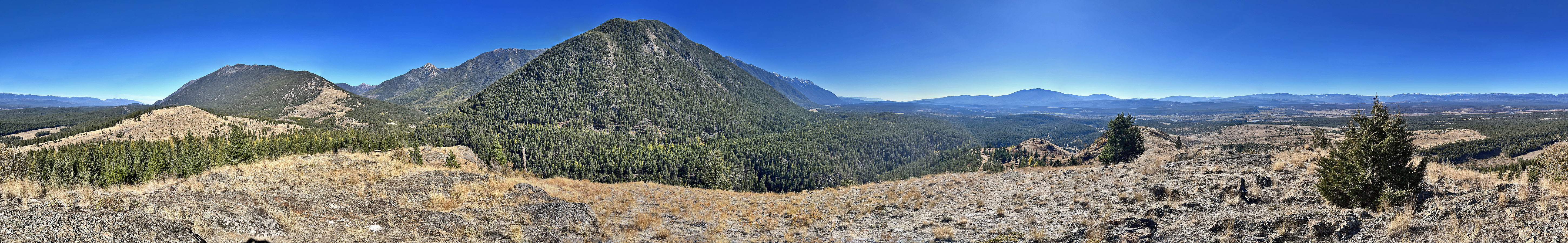
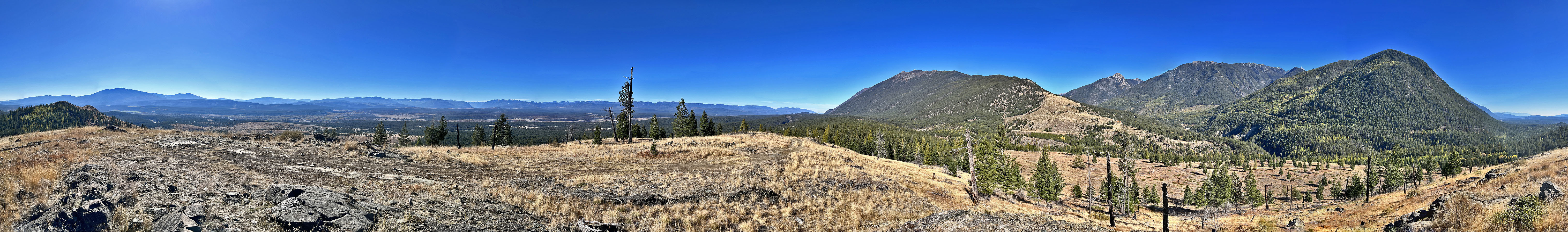 Panorama from the north summit
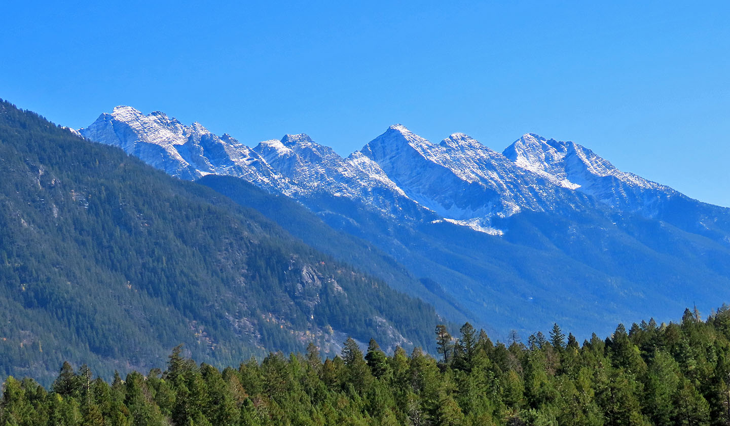
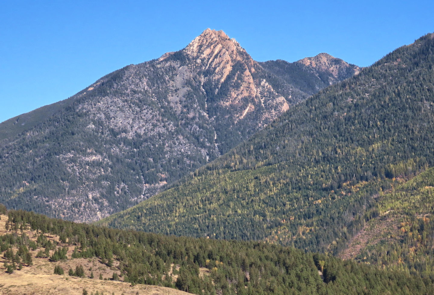 Vertical Mountain lies northeast
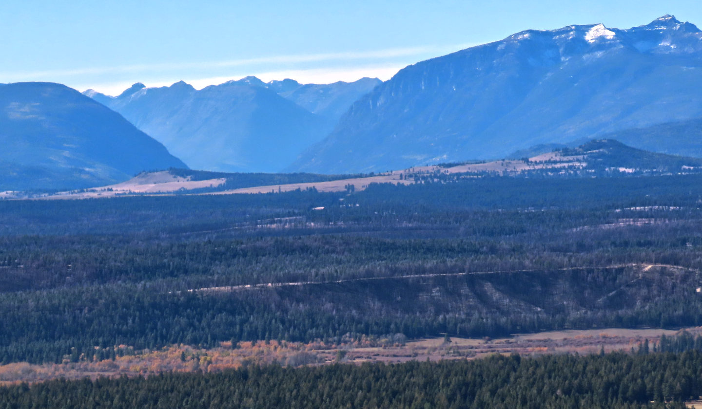 Looking west, Bootleg Mountain upper right. The bump below it is Lone Pine Hill which appears connected by a ridge to Wycliffe Buttes on the left.
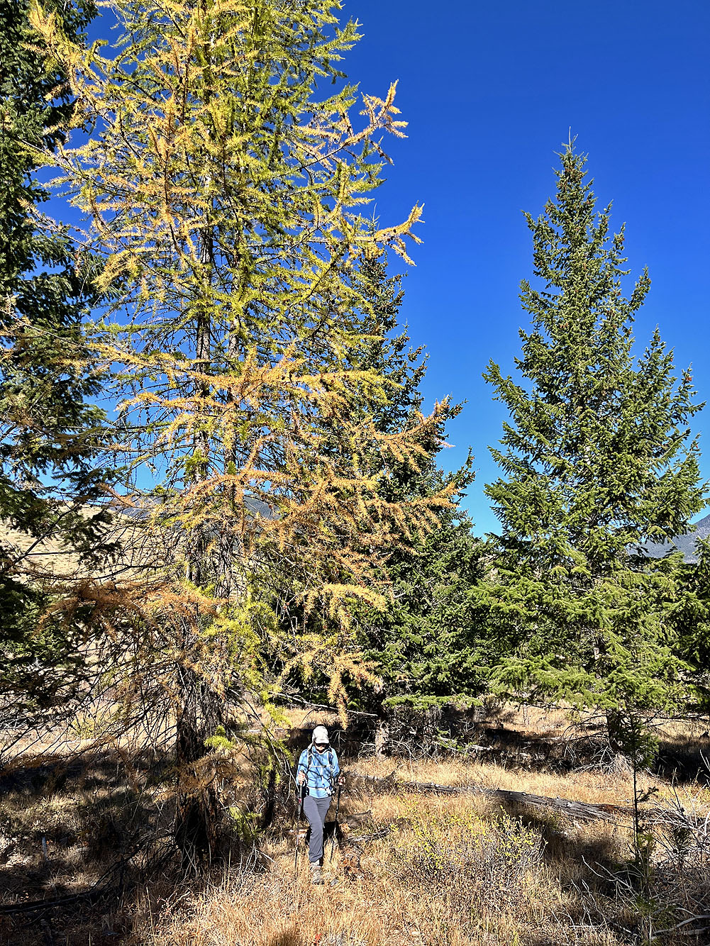
We took a shortcut back, passing larches turning yellow